Commercial Roofing Services
Drone Roof Inspection in Mission, TX
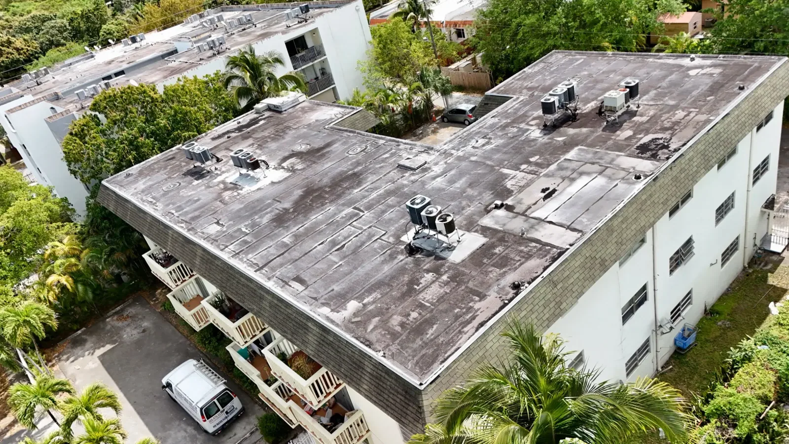
Aerial imagery changes what an owner can see before anyone steps on a roof. On a large Mission, TX building, a drone flight produces overlapping photographs of every section, edge, and rooftop unit within minutes, and those photographs show ponding outlines, membrane discoloration, displaced flashings, and debris that are hard to judge from the ground. The images are dated, geotagged to the roof sketch, and archived, so the same flight path can be repeated after a storm and compared frame by frame. Drone work supports the inspection record. It does not replace the hands-on walk where a seam must be probed or a core cut.
When Drone Imaging Fits
The method suits large low-slope roofs, steep-slope metal, buildings with limited roof access, and roofs that are unsafe to walk after damage. It also suits portfolio work, where an asset manager needs a consistent first look at many buildings. A distribution building with a long expanse of roof, a school with several wings, or a retail center with multiple suites can be imaged in a single visit.
Conditions that favor the method include clear light, low wind, and no restricted airspace over the site. Because the Rio Grande Valley also has weather-driven delays during the June to October tropical season, flights are scheduled around forecasts, and a second window is held when the first is lost. Where flight is not allowed or practical, the inspector performs the walk on foot and records the reason in the file. Interior spaces under a roof of this type, such as a warehouse floor or a retail sales area, are not entered during the flight, so tenant operations continue without interruption.
What the Flight Captures
A standard flight combines high-altitude overview frames with low-altitude detail frames. The overview establishes the roof outline and the position of equipment. The detail frames follow a systematic path, with overlap, so every section is covered. Oblique images capture parapets, edge metal, and roof-to-wall transitions. Zoomed frames target suspect areas: ponded locations, seam lines, flashing corners, and equipment curbs.
From these frames the inspector builds an annotated set. Each image is tagged to a section number, and findings are circled. Standing water visible after rain, rust streaks at fasteners, and gaps at laps all become entries in the file. The images are stored at full resolution so a later reviewer can enlarge a detail without loss. Where a roof has several levels, each level is flown separately so that parapet heights and step-downs are visible and no section is hidden behind another.
Using Drone Images After a Storm
After Hurricane Hanna in July 2020, water stood 18 inches to 4 feet deep in parts of the Mission, La Joya, and Sullivan City area, and numerous water rescues were reported in Mission. Access to roofs during such an event can be unsafe, and an aerial survey allows an owner to assess damage while crews wait for conditions to improve. Hanna also tore back sheet-metal roofs in McAllen, which shows the kind of edge damage a drone can catch from above.
The images are compared with any earlier baseline. A new gap in edge metal, a displaced piece of coping, or a debris pile at a drain stands out clearly when two dated frames are placed side by side. That comparison supports prioritizing emergency work and, where a claim is considered, documents the condition on a specific date. For work that follows, hurricane damage roof repair uses the same sequence of records.
Flight Planning and Site Safety
Before a flight, the pilot reviews the roof outline, nearby structures, power lines, and the location of people on the ground. A visual observer is posted when the site layout requires one, and the tenant is told when the flight will happen. Wind limits are set before launch, and flights are stopped if gusts rise or rain approaches, which matters in the Valley's June to October tropical season when conditions can change within an hour.
The pilot records the flight time, altitude, and weather in the file alongside the images. If the building has rooftop equipment that emits heat or radio signals, the plan notes it so the pilot can keep a safe distance. These details seem minor, but they make the record repeatable: the next flight uses the same path, the same altitude, and the same camera settings, so differences in the images reflect the roof and not the flight.
What a Drone Cannot Confirm
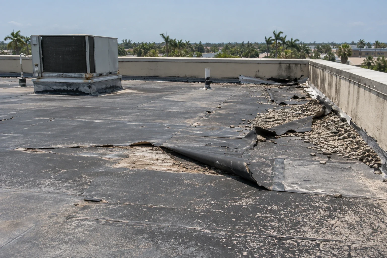
Cameras see the surface. They do not see wet insulation, weak welds, or loose fasteners beneath a membrane. A roof that looks clean in a photograph can hold water in its insulation, and a roof that looks stained can be dry. For that reason, the drone record is paired with a moisture method when the question is whether the roof is wet. An infrared moisture survey or a set of core cuts supplies that missing information.
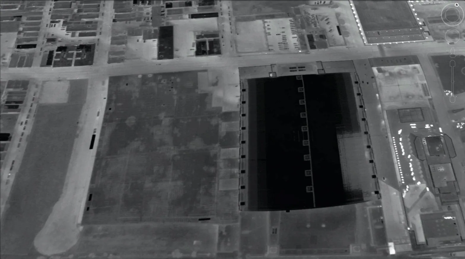
Thermal cameras on drones can show temperature differences that point toward wet areas, but the readings depend on sun angle, roof surface, and time of day. We treat thermal images as screening evidence and confirm with ground checks. The report states which findings came from visible imagery, which from thermal screening, and which from hands-on testing.
Deliverables and How They Are Used
The deliverable is a set of annotated images with a roof sketch, a findings list, and a brief written summary. For owners with several properties, a table lists each building with its priority score. The files are shared as a link or a folder, and the original images are retained so a later flight can be compared with them. Each image carries its date and its section number in the file name.
Property managers use the images to plan repair visits, brief ownership, and answer tenant questions. Lenders and buyers use them to supplement a full commercial roof inspection. Insurance conversations use them as dated evidence. In each case the images support decisions, and the findings list tells the reader where to look.
Questions and Answers
Can a drone replace a walking inspection?
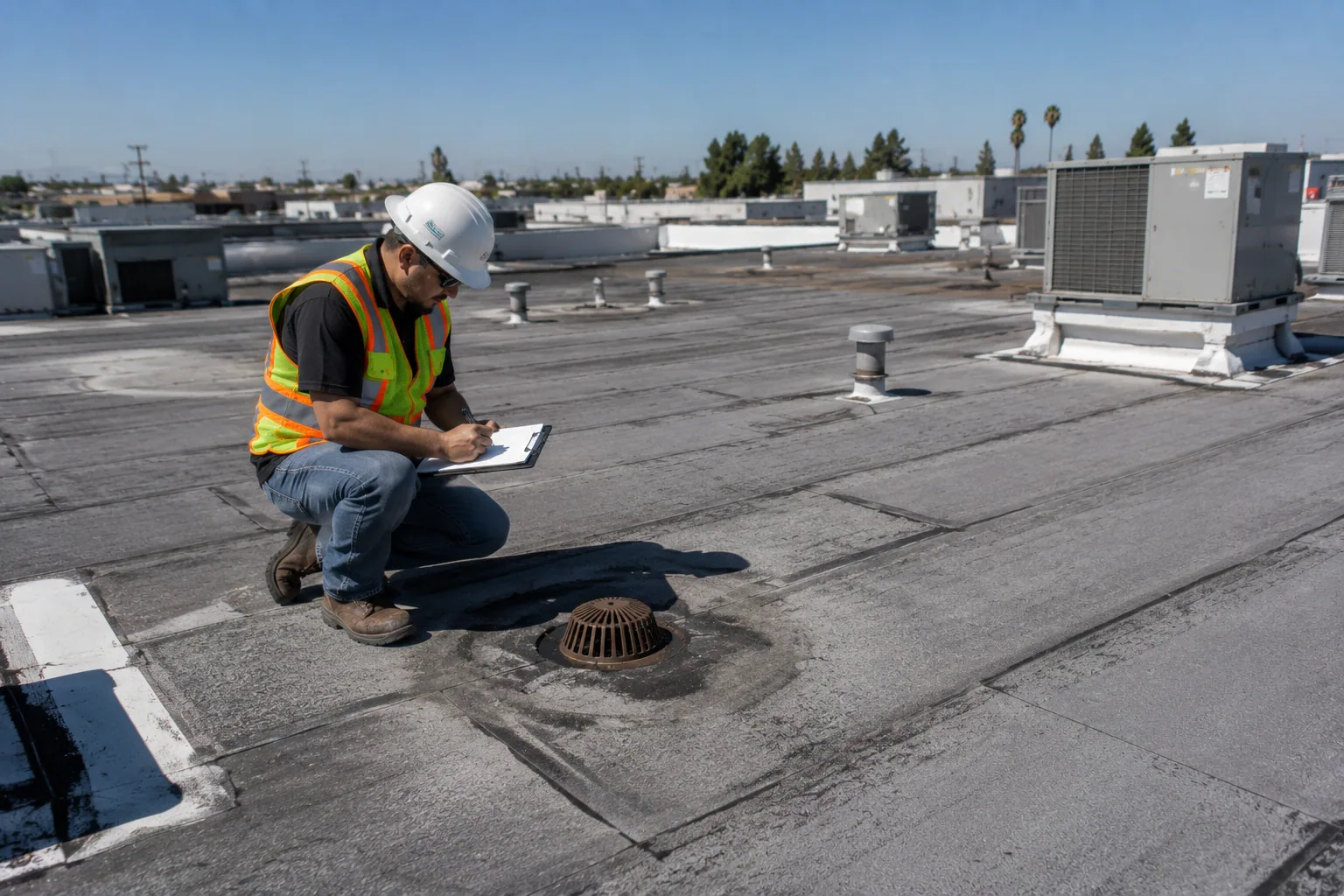
Not for decisions that rest on testing. A flight can map the roof and show surface conditions quickly, but seam strength, fastener hold, and moisture require touch or instruments. The best use is as the first step, so the walking inspector arrives with a map of where to concentrate.
Do you need permission to fly over a commercial building?
Flights require the owner's authorization, awareness of tenants, and a check of airspace restrictions. Near airports or other controlled areas, additional authorization may be needed. We confirm these items before scheduling and note them in the file.
How do drone images help with a storm claim?
Dated aerial images show roof condition from a fixed vantage, and they can be compared with a baseline flight. Taken soon after an event, they document edges, flashings, and debris before temporary repairs alter them. An adjuster still decides coverage, and the images provide the evidence.
What size of roof makes drone imaging worthwhile?
The more roof area or the harder the access, the more value the flight adds. A small building can be walked in a short time, while a large roof or a portfolio benefits from the speed and consistency of aerial capture. We recommend the method when it shortens the inspection or improves the record.

Schedule an Aerial Roof Survey
Send the property address and any access limits. We will confirm airspace, fly the roof, and deliver annotated images tied to a roof sketch.