
Commercial Roofing Services
Infrared Moisture Survey in Mission, TX
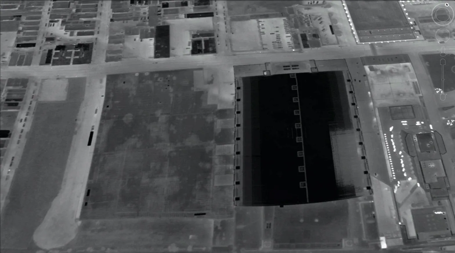
Wet insulation is the finding that turns a repair into a project, and on a Mission, TX roof it is rarely visible from the surface. An infrared moisture survey and a set of core cuts are the two methods that locate it. The survey scans the roof after sunset, when wet insulation releases its stored heat more slowly than dry insulation, and the thermal camera shows those differences as warm patches. Cores then confirm what the camera suggests. Together they produce a moisture map: a scaled sketch of the roof with the wet areas outlined, labeled, and tied to photographs.
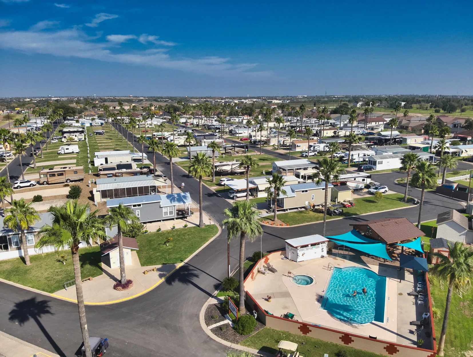
How the Survey Is Run
The survey works because wet insulation holds more heat than dry. After a sunny day the roof has absorbed energy, and as the surface cools in the evening, wet areas stay warmer. The operator walks the roof with a handheld thermal camera or flies it with a drone-mounted unit, marking anomalies with paint or stakes as they appear. The roof sketch records each anomaly, its approximate size, and its position relative to drains, penetrations, and walls. Photographs of the painted marks are taken in daylight the next morning, so the final map matches what a crew will see on the roof.
Conditions have to be right: a clear day before, dry roof surface, low wind, and enough temperature drop after sunset. The Rio Grande Valley has a long heat season, with the National Weather Service listing May through October as the heat-safety months, so the sun load is rarely the limiting factor. The limiting factors are rain, humidity, and wind, which is why surveys are scheduled with a backup night.
Core Cuts That Confirm the Reading
Thermal images show patterns, not water. A warm patch can come from wet insulation, but also from thicker material, a different insulation type, or a surface covering. To confirm, we cut small circular cores at selected anomalies and at control spots in areas that look normal. Each core is photographed, measured for layer thickness, tested for moisture, and then patched with matching material.
The results are written on the sketch next to the anomaly: dry, damp, or saturated, with the layer where moisture sits. Core data also reveals the assembly, which a roof drawing from the original construction may not show accurately after additions and repairs, including the number of layers, the type of insulation, the presence of a vapor retarder, and the deck type. That information shapes the recommendation, because a roof with wet insulation over a steel deck calls for a different path than one over a concrete deck.
What the Moisture Map Tells an Owner
The map answers a practical question: how much of the roof is wet, and where. If the wet area is small and bounded, the recommendation may be a localized cut-out and a planned repair. If the wet area is scattered across the roof, a partial replacement of the affected sections may be more sensible. If the wet area covers most of the roof, the numbers favor full replacement.
The map also helps decide whether a recover or coating is possible. Neither option holds over wet insulation, so a survey is the gate for both. The report states the percentage of surveyed area that is wet in plain terms and gives the owner three paths with their trade-offs. Each path lists what it addresses, what it leaves for later, and what the owner would carry in repeat repairs if the roof were left alone another year. Because the file is dated and drawn to scale, it can also be shared with a lender, an insurer, or a buyer. A second survey of the same roof a year later, taken under similar conditions, shows whether wet areas have stayed put or grown, and that trend gives a budget meeting something measured to work from.
Moisture After Heavy Rain Events
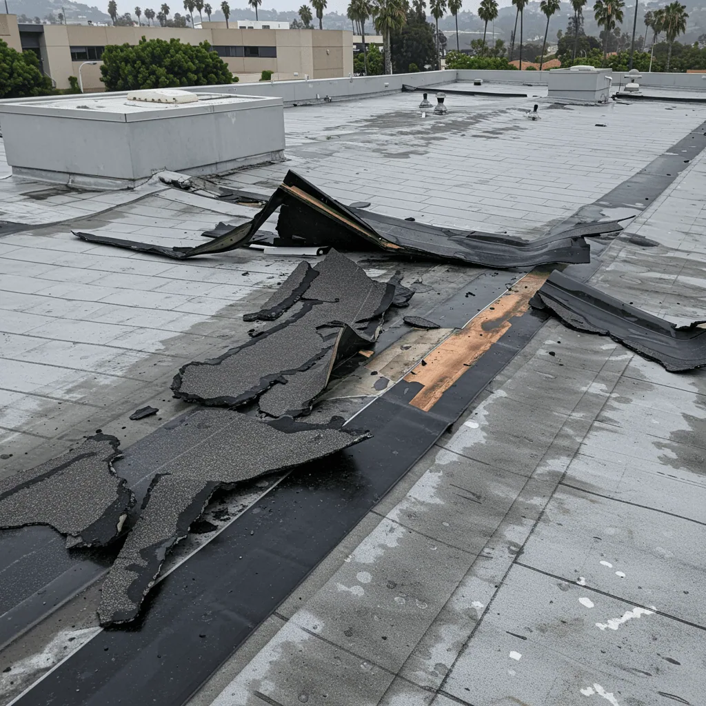
During Hurricane Hanna a Mission-area gauge recorded 14.40 inches, La Joya recorded 13.92 inches, and 12 to 13 inches at gauges around McAllen in July 2020. Roofs that took in water through torn membrane or open flashings may hold that water in insulation for months. A survey after a major rain event identifies where water got in and how far it spread, which is useful both for repair planning and for claim documentation.
Timing matters. A survey taken within weeks of the event captures the original distribution of moisture. A later survey shows how far moisture has spread or dried. We recommend scheduling a baseline survey on important roofs before the tropical season and a follow-up after any named storm that brings heavy rain, so the file shows change over time. The same logic applies to storm damage repair planning.
Roof Types Where the Survey Has Limits
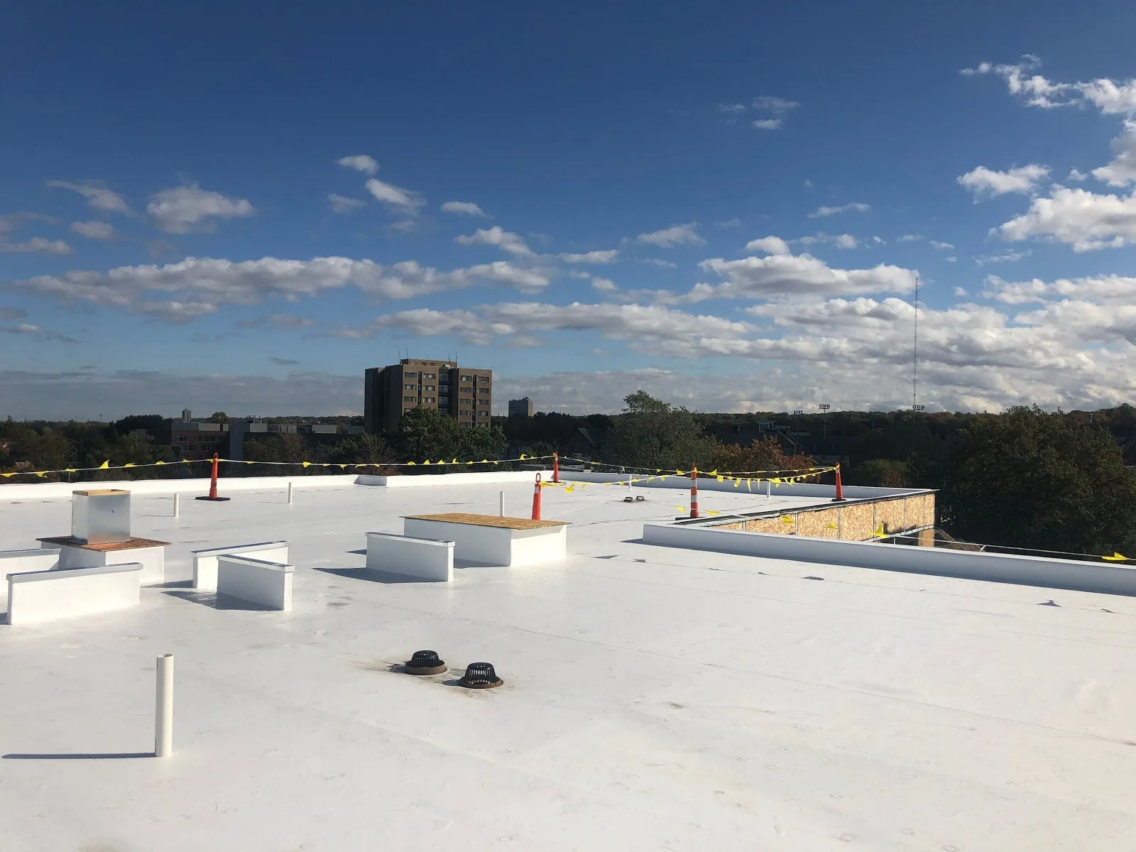
Infrared works best on dark or smooth low-slope membranes with insulation below. Ballasted roofs, heavily coated roofs, and those with reflective surfaces can mask the thermal signal, and metal roofs generally need different methods. On a ballasted roof, the stone may be pulled back in test areas, while on a coated roof the survey may rely more on cores. We tell the owner before the survey whether the method is suitable and what substitute will be used. Roofs with recent coating work or fresh gravel also get a note, since new material can hold or lose heat in a pattern that has nothing to do with moisture, and the operator would otherwise read it as an anomaly.
The report records these limits. Each area is marked as scanned, partly scanned, or not scanned, and the reason is given. Owners who need a roof-wide answer on a difficult surface can ask for a core grid, a defined pattern of cores spaced across the roof, which gives a statistical picture of moisture even when thermal imaging is limited.
Survey Work Across the Metro
We survey roofs in Mission, McAllen, Pharr, and other cities of the metro. A survey is often paired with a commercial roof inspection so the visible findings and the hidden moisture appear in the same file.
Questions and Answers
How accurate is an infrared survey compared with cores alone?
A scan reaches the whole roof quickly and shows where to cut, while cores give direct proof at specific points. Using both lowers the chance of missing a wet area and the chance of calling a dry area wet. The moisture map notes which boundaries are measured and which are interpreted from the thermal image.
Will the core cuts damage the roof?
Each core is small and patched the same day with materials compatible with the membrane. We cut as few as the question requires and seal every one with the same care as any other penetration. The patches are marked on the sketch so they can be checked at the next inspection.
Can the survey be done on any day of the year?
It needs the right conditions: sun the day before, a dry surface, and a clear night. In the Valley, that is common outside the wetter tropical stretch, but we hold a backup night in the schedule. If conditions fail, we postpone and tell the owner instead of recording an unreliable scan.
What should an owner do with the results before buying or selling a building?
Share the moisture map and the core data with the other party and attach the recommendation. The map shows the extent and the options in numbers. A buyer can use it to price the roof, and a seller can use it to decide whether to repair before listing.

Order a Roof Moisture Survey
Send the building address and roof type. We will schedule an evening scan, confirm with cores, and deliver a scaled moisture map.